No specific info about version 1.0. Please visit the main page of Lat Long on Software Informer.
Your vote:
Free latitude and longitude coordinates conversion tool.
A Suite of programs used in conjunction with NGS program ADJUST.
It is used to calculate geodetic distance and azimuth between two points.
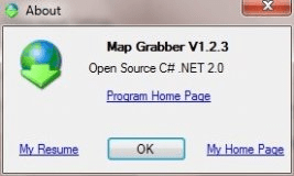
Program that will capture maps from websites.
converts coordinate data in any DOS-ASCII, formatted, text file or ODBC data




Comments